- ABOUT
- EXPLORE
- Tips for Hiking the Trail
- General Outlook of the Trail
- Sec.1 (Mt. Madarao - Aka Ike pond)
- Sec.2 (Aka Ike pond - Wakui)
- Sec.3 (Wakui - Hotoke ga Mine Tozanguchi)
- Sec.4 (Hotoke ga Mine Tozanguchi - Sekida Toge pass)
- Sec.5 (Sekida Toge pass - Busuno Toge pass)
- Sec.6 (Busuno Toge pass - Mt. Amamizu)
- Sec.7 (Mt. Amamizu - Mori-Miyanohara Station)
- Sec.8 (Mori-Miyanohara Station - Ketto)
- Sec.9 (Ketto - Koakasawa)
- Sec.10 (Koakasawa - Mt. Naeba)
- Access
- Town Maps
- Visitor Centers
- Guided Hiking
- Stay
- Trail Etiquette
- Hiking Awards
- GET INVOLVED
- NEWS & EVENTS
- FAQ
- Home
- Section Introduction
- section07
Section Introduction
Section07
Mt. Amamizu – Satoyama Deai – Mori-Miyanohara Station
Section length: 7.2 kilometers; Time required: approx. 4 – 5 hours
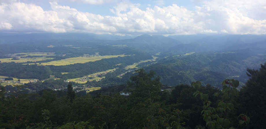
Section highlights
This section links the Sekida Mountains to the foothills of Mt. Naeba, and passes over mountains and through villages. Satoyama Deai is the border, as the Trail changes from a mountain path to paved road. The beech forest near the Matsunoyama trailhead is off the main Trail, but is very beautiful and well worth a side trip.
0km
Key points
point1 The section includes a long descent from Mt. Amamizu, then a long, continuous climb from Mori-Miyanohara Station.
point2 Along with Section 6, this will see snow lingering longer than anywhere else on the Trail. Always check in springtime before heading out.
point3 The section on paved road slopes, and it’s easy to strain the knees. Walk slowly, and take plenty of breaks!
Milestones
Matsunoyama trailhead
Parking space is available here for about three cars. A simple toilet is available.
Satoyama Deai
Located in the middle of Section 7; on the north side is mountain trail, to the south is paved road. Can be accessed by car from Mori-Miyanohara. Parking space for two cars.
JR Mori-Miyanohara Station
The northern gateway to the Sekida Mountains. The station is on the JR Iiyama Line, which links Nagano City to Nagaoka City in Niigata. It can also be accessed by bus from Echigo-Yuzawa Station.
Accommodations
on the trail, within walking distance of the trail
- Echigo-Tsumari Daigonji Kōgen Campsite


- Area around Mori-Miyanohara Station

off-trail accommodations
- matsunoyama onsen

- echigo tanaka onsen

- Tomato no Kuni

information on the trail and nearby facilities
 Mt. YamabushiNature
 Shinano-so, Echigo-Tanaka OnsenOnsen
 Kotaki Kōdo (Shikumi Kaidō)History and culture
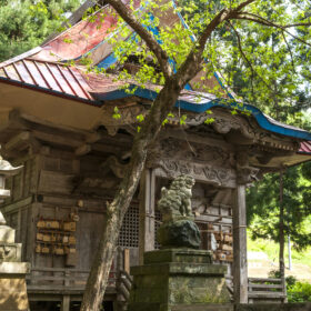 Kitano Tenmangu ShrineHistory and culture
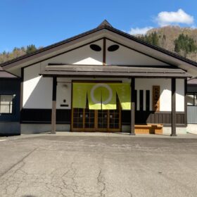 Kitano Tenman OnsenOnsen
 Kizuna, the Sakae Village Reconstruction Memorial HallNearby facility
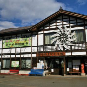 Mori-Miyanohara StationNearby facility


