- ABOUT
- EXPLORE
- Tips for Hiking the Trail
- General Outlook of the Trail
- Sec.1 (Mt. Madarao - Aka Ike pond)
- Sec.2 (Aka Ike pond - Wakui)
- Sec.3 (Wakui - Hotoke ga Mine Tozanguchi)
- Sec.4 (Hotoke ga Mine Tozanguchi - Sekida Toge pass)
- Sec.5 (Sekida Toge pass - Busuno Toge pass)
- Sec.6 (Busuno Toge pass - Mt. Amamizu)
- Sec.7 (Mt. Amamizu - Mori-Miyanohara Station)
- Sec.8 (Mori-Miyanohara Station - Ketto)
- Sec.9 (Ketto - Koakasawa)
- Sec.10 (Koakasawa - Mt. Naeba)
- Access
- Town Maps
- Visitor Centers
- Guided Hiking
- Stay
- Trail Etiquette
- Hiking Awards
- GET INVOLVED
- NEWS & EVENTS
- FAQ
- Home
- Section Introduction
- section04
Section Introduction
Section04
Hotoke ga Mine trailhead – Kozawa Tōge pass – Mt. Nabekura – Sekida Tōge pass
Section length: 8.5 kilometers Time required: approx. 5 to 6 hours
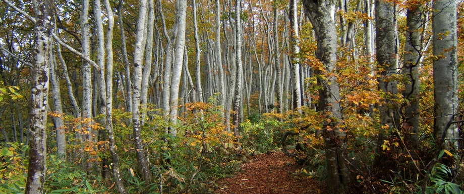
Section highlights
The center of the Sekida Mountains part of the Shin-etsu Trail, with a series of ups and downs toward the main peak, Mt. Nabekura. The section features beautiful beech forests, and excellent views of the Iiyama basin and the Sea of Japan.
8.2km
6.4km
5.9km
2.4km
0.9km
Key points
point1 Be careful when hiking the section around signpost 4-6, from the beech forest to the summit of Mt. Nabekura, as the rises and falls are severe, and there are many sharp-edged ridges.
point2 There are many steep and slippery slopes in the section from Mt. Nabekura to the Kukuno Tōge pass; the terrain is muddy, so be careful while hiking here.
Milestones
Hotoke ga Mine trailhead
About 20 to 30 minutes from the Tonpei slope of Togari Onsen Ski Resort.
Kozawa Tōge pass
The Trail on the Niigata side leads to Yoshihachi Ike pond, while the Nagano side leads to the Tonpei slope
Kuguno Tōge pass
On the way to the Nagano side is the “Valley of Giant Trees,” including the famous giant Moritarō. On the Niigata side is Yoshihachi Ike pond and Karayama-guchi.
Sekida Tōge pass
Parking available. A 20-minute walk on the Niigata side to Green Pal Kōgen-sō, location of the visitor center and tent site.
Accommodations
on the trail, within walking distance of the trail
- Tondaira tent site

- Green Pal Kōgen-sō, Hikari ga Hara campground


Note: In the Tondaira area, the Togari Onsen Hoshifuru (Starry) campground is also available.
off-trail accommodations
- Eshin no Sato, Yasuragi-sō

- Kukuno Inn

- Togari Onsen area

information on the trail and nearby facilities
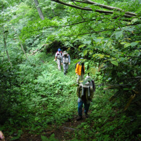 Togari TrailLocal information
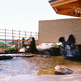 Togari OnsenOnsen
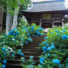 Ajisai (hydrangea) TempleLocal information
 Hotoke ga MineNature
 Beautiful beech forestNature
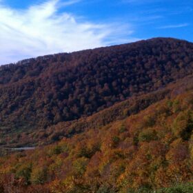 Mt. NabekuraNature
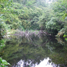 Kurokura Koike pondNature
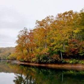 Chaya Ike pondNature
-280x280.jpg) Kyoboku no Tani (Valley of Giant Trees)Nature
Kyoboku no Tani (Valley of Giant Trees)Nature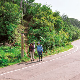 Sekida Tōge passHistory and culture
 Green Pal Kōgen-sōNearby facility
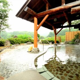 Iiyama Yutaki OnsenOnsen
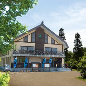 Nabekura Kōgen Mori no IeNearby facility


